Instructions for Side by Side Printing
- Print the notecards
- Fold each page in half along the solid vertical line
- Cut out the notecards by cutting along each horizontal dotted line
- Optional: Glue, tape or staple the ends of each notecard together
Influences of Weather & Climate
front 1 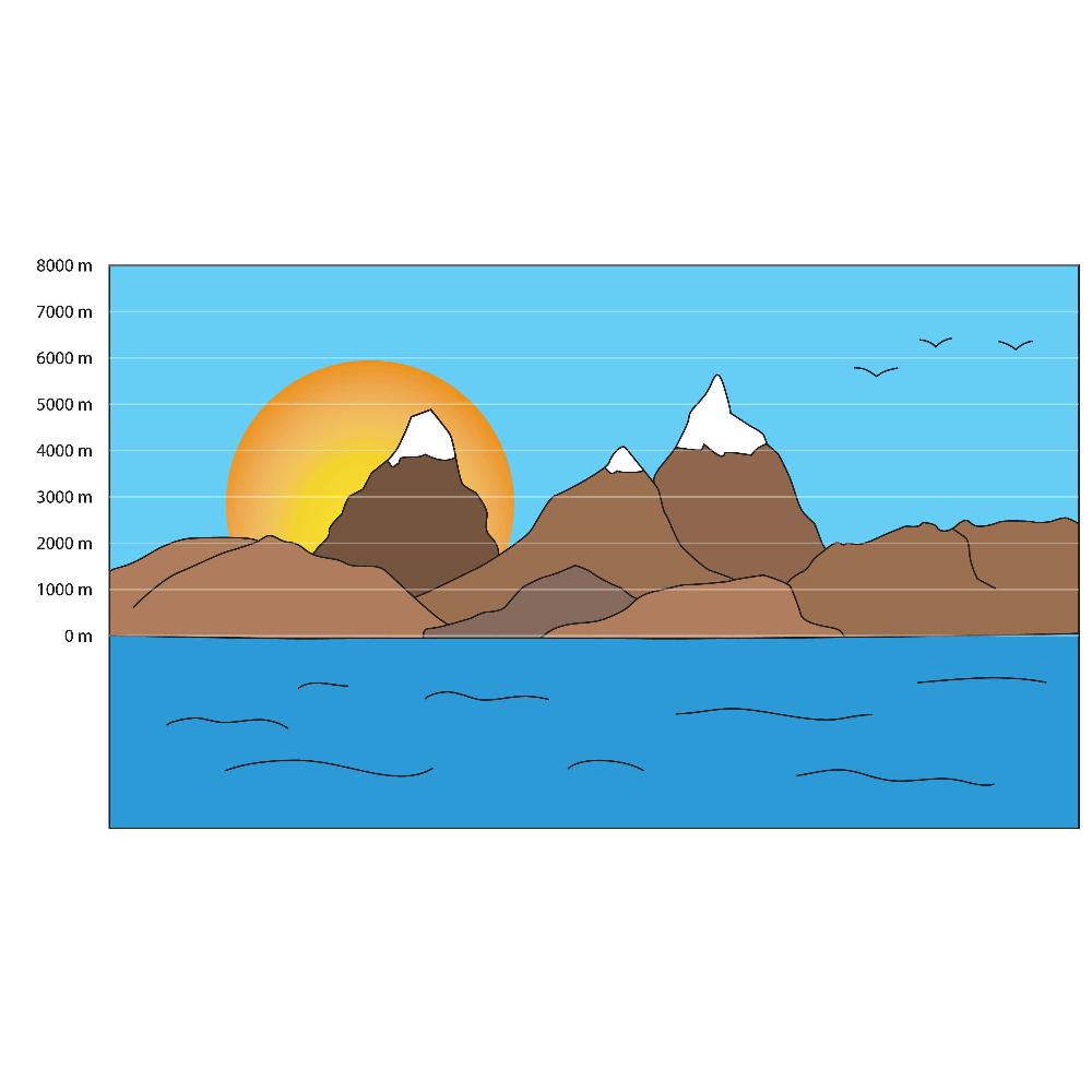 Altitude | back 1 The distance above sea level |
front 2 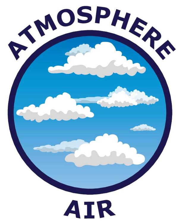 Atmosphere | back 2 The layer of gas surrounding a planet that is held in place by gravity. |
front 3 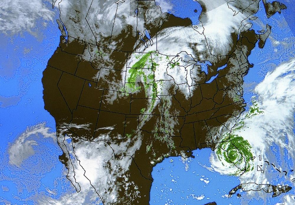 Atmospheric Circulation | back 3 The large-scale movement of air around Earth |
front 4 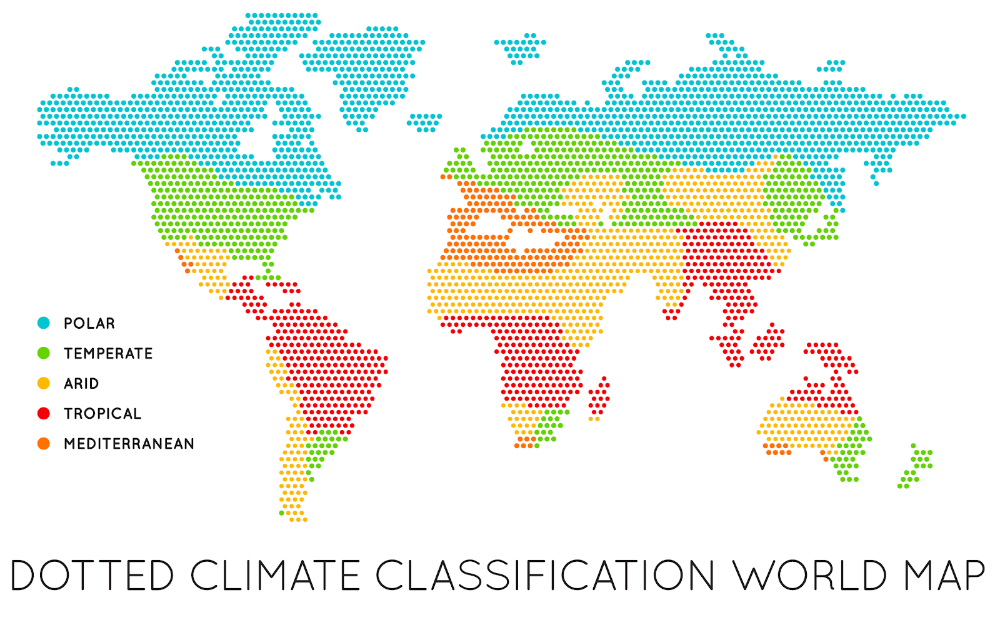 Climate | back 4 Average weather patterns for a particular region |
front 5 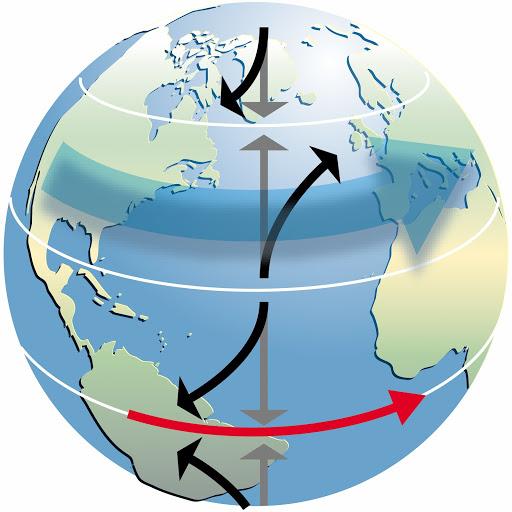 Coriolis Effect | back 5 The apparent deflection of moving air, as seen by an observer on Earth, as a result of Earth's rotation. |
front 6 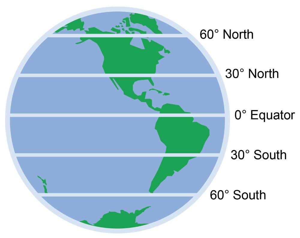 Latitude | back 6 Geographic coordinate that specifies the north-south position of a point on Earth's surface. |
front 7 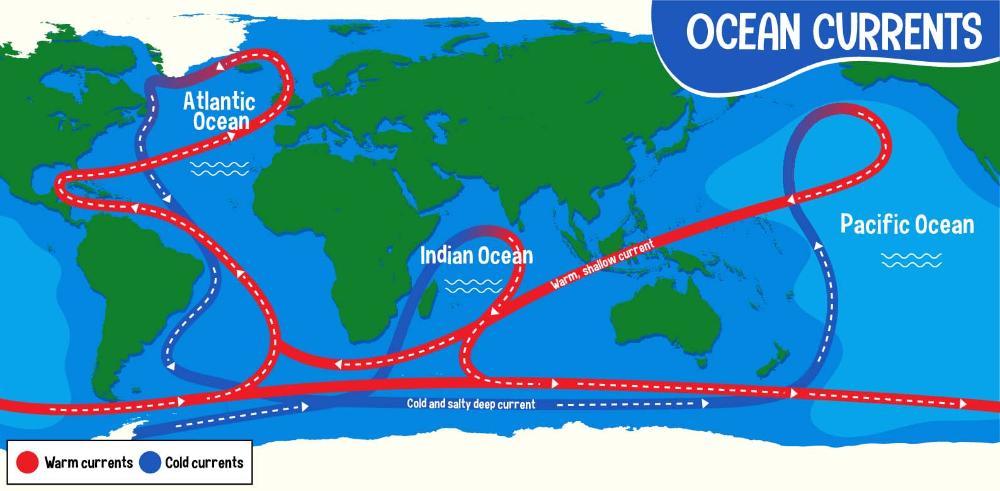 Ocean Currents | back 7 Directional movements of ocean water; surface currents result from steady winds over the ocean surface; deep currents result from density variations due to temperature and salinity differences. |
front 8 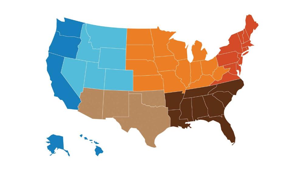 Regional Geography | back 8 The study of specific regions of Earth. |
front 9  Rotation | back 9 The spinning of Earth on its axis that causes day and night to occur. |
front 10  Weather | back 10 The day-to-day state of the atmosphere. |